

Genasys Protect & LRAD
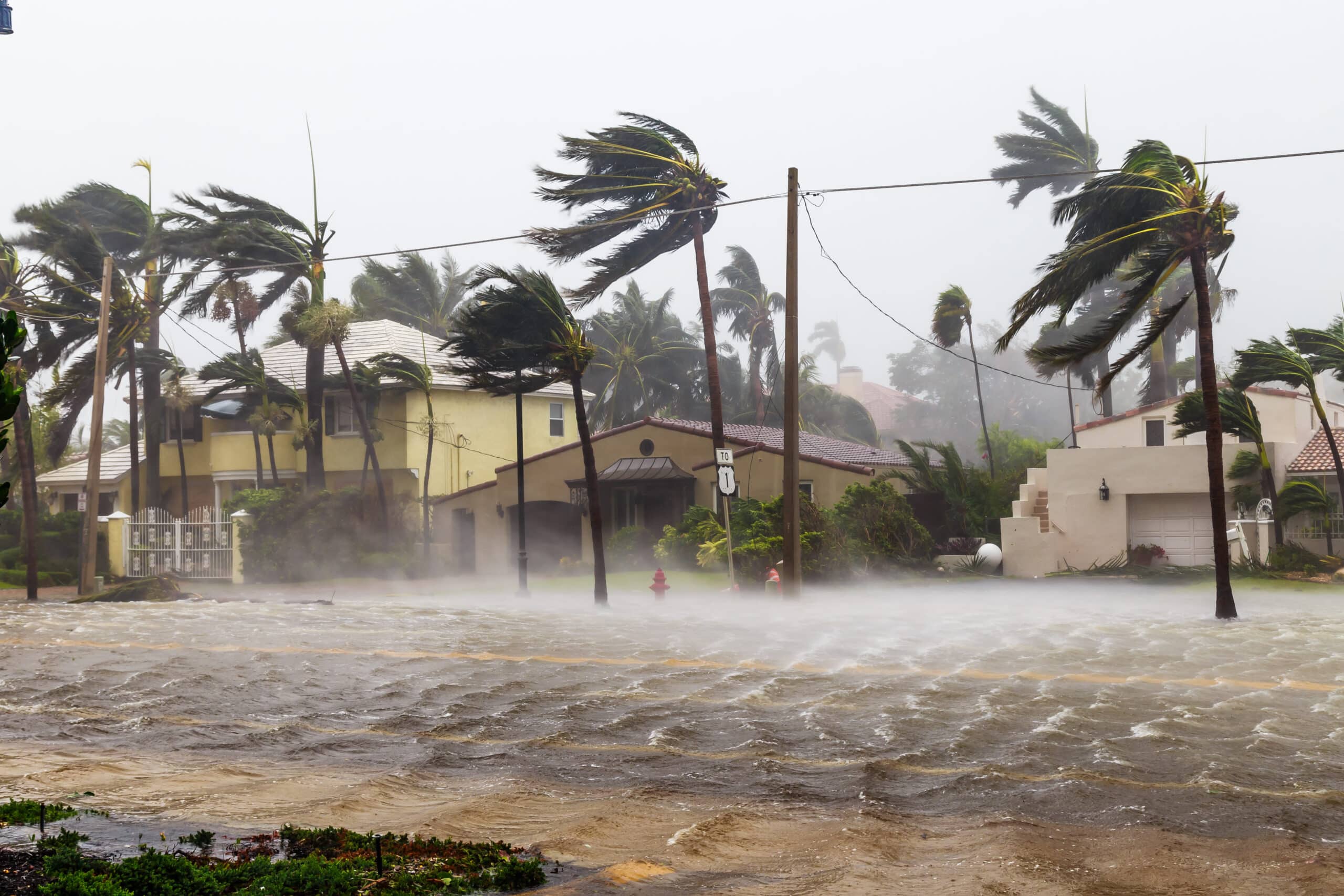
Essential Hurricane Preparedness Tools
Enhance hurricane response, evacuation, and reentry by efficiently managing complex logistics, improving internal and external communication, and simplifying data-driven decision-making. Visualize high volumes of information, inform and coordinate the public, and collaborate seamlessly across all participating public agencies with Genasys Protect.
Keep people safe with advanced notification and decision-making technology.
Warnings
Evacuations
Response Coordination
Search & Rescue
Reentry
Genasys hardware and software work together to minimize the impact of catastrophic hurricanes and tropical storms
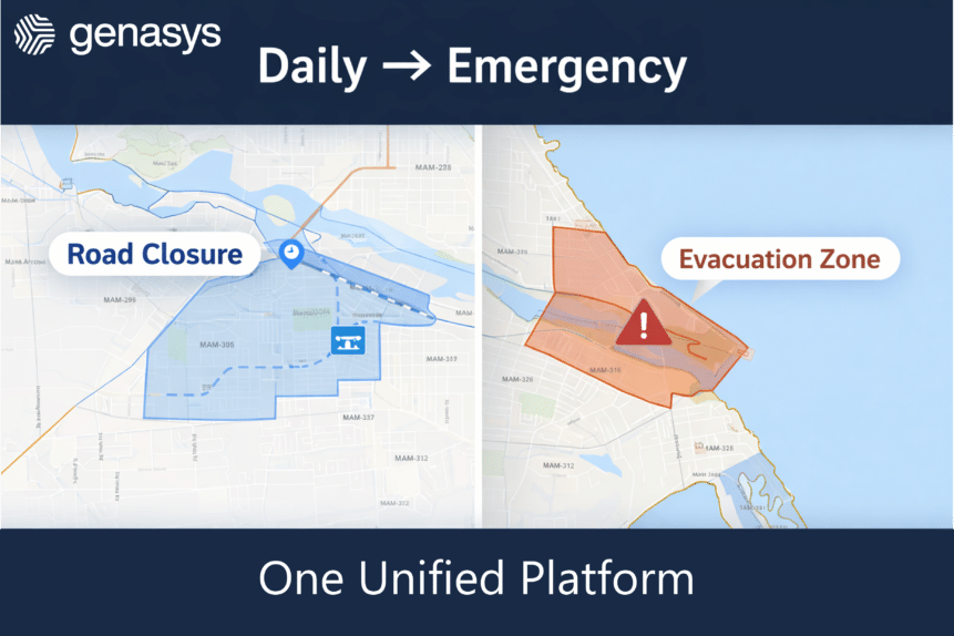
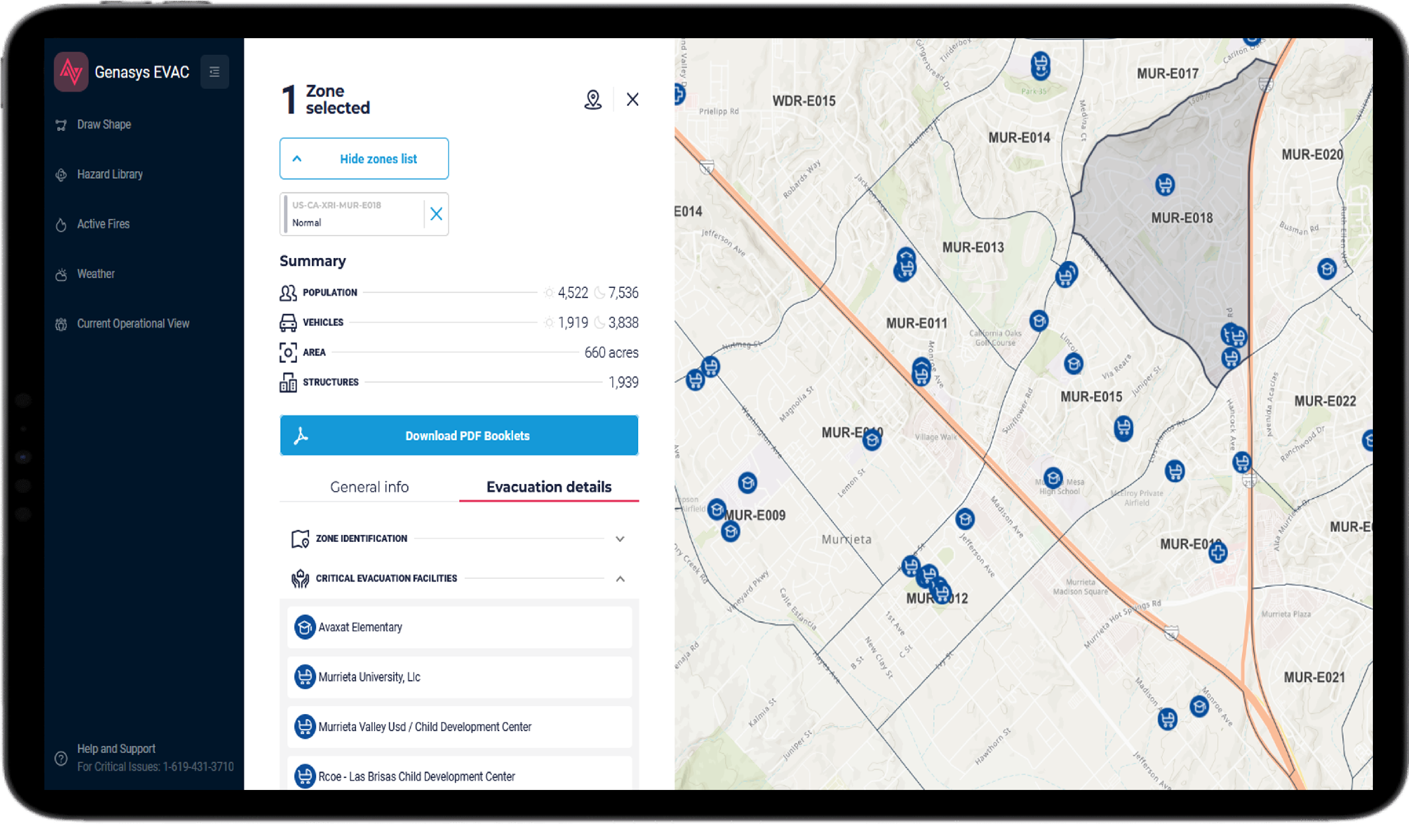
The Genasys suite of solutions ensures real-time communication within your responding teams and offers round-the-clock protection for your communities—even when they don’t opt in. EVAC‘s zone-based planning streamlines the process of coordinating evacuations, notifying people, and guiding them to safety, while integrated weather sensors issue automated alerts through various channels, including a mobile citizen’s app and long-range speakers that deliver clear, understandable messages to those at risk.
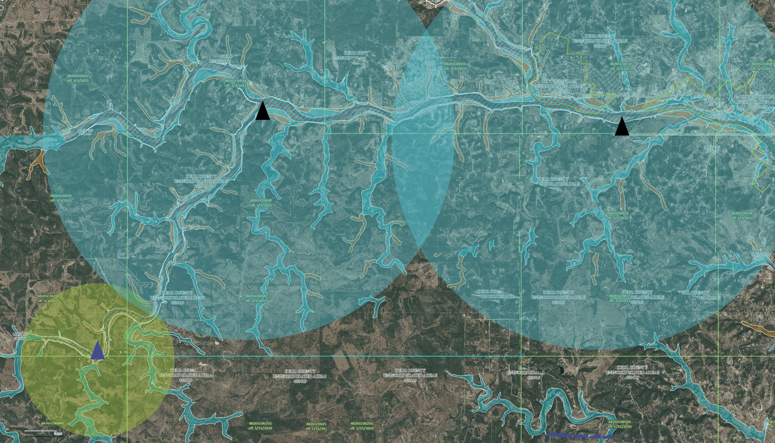
The map-based platform provides an instant snapshot of population, structures, vehicle count, and area size, enabling swift decision-making. Visualize evacuation progress through traffic AI modeling that accounts for road congestion and closures to aid the decision-making process.
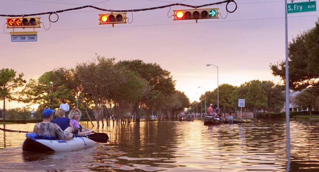
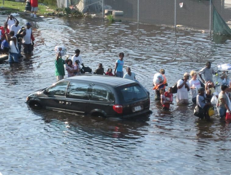
After the hurricane passes, Genasys’ targeted communications reach residents beyond jurisdictional boundaries, keeping them informed during reentry. CONNECT facilitates seamless collaboration between all participating agencies and volunteers in search and rescue operations via real-time chat. Helicopter and boat-mounted LRADs help locate survivors and reduce panic by informing them help is on the way.
Facilitate collaborative emergency response and effectively manage the mass movement of large groups of people with Genasys.
Comprehensive Public Communication
Deliver real-time alerts and warnings to all residents, including those in remote areas, impacted by hurricanes. Genasys ensures timely updates on storm paths, evacuation routes, and emergency procedures, providing critical information for comprehensive coverage.
Simplified Data Visualization
Visualize extensive data through an intuitive map-based platform. Collaborate seamlessly with agencies using a common operating picture, simplifying mass evacuations and responses to flash floods from a hurricane’s wide impact. Streamline decision-making for complex scenarios.
Multi-Jurisdictional Collaboration
Facilitate two-way communication and messaging between multiple authorities and emergency management agencies with real-time data and vital information from agencies, federal departments, and military support to guarantee a cohesive response during a hurricane.
Durable and Reliable Systems
Built to withstand extreme weather conditions, many Genasys Protect products maintain functionality during hurricanes and associated power outages. Their robust design ensures continuous operation, providing uninterrupted service for emergency communications when it matters most.

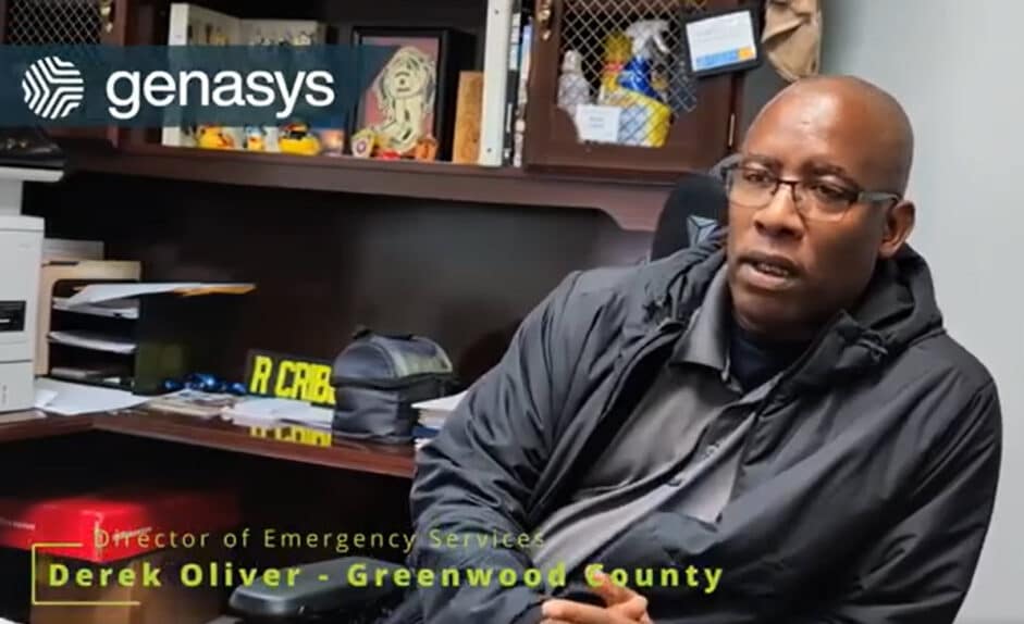
“For Helene, we had pretty much the entire community cut off. We were able to use it (Genasys EVAC) to map out where the main issue points what we needed to clear to assist utilities to get the power back on…We could have been without power a lot longer without the software.”
Derek Oliver, Director of Emergency Services
Greenwood County, SC
“During Hurricane Helene, the LRAD 100X proved invaluable. We used it to broadcast evacuation orders, communicate with a stranded citizen awaiting swiftwater rescue, and issue a mandatory curfew, all while delivering crystal-clear communication even in extreme conditions. The LRAD 100X has become an indispensable part of our emergency response and, without a doubt, has helped save lives in our community.”
Lt. Geoffrey Rollins
Asheville Police Department
Crowd Control Team Commande

Genasys Software and Hardware for Hurricanes:
Genasys Protect: Keep communities safe before, during, and after hurricanes with targeted, multi-channel alerts and a public-facing map that shares evacuation routes, shelters, and official updates. Intelligent zones and a common operating picture give agencies real-time visibility of closures and critical facilities, enabling faster decisions and coordinated response across all teams.
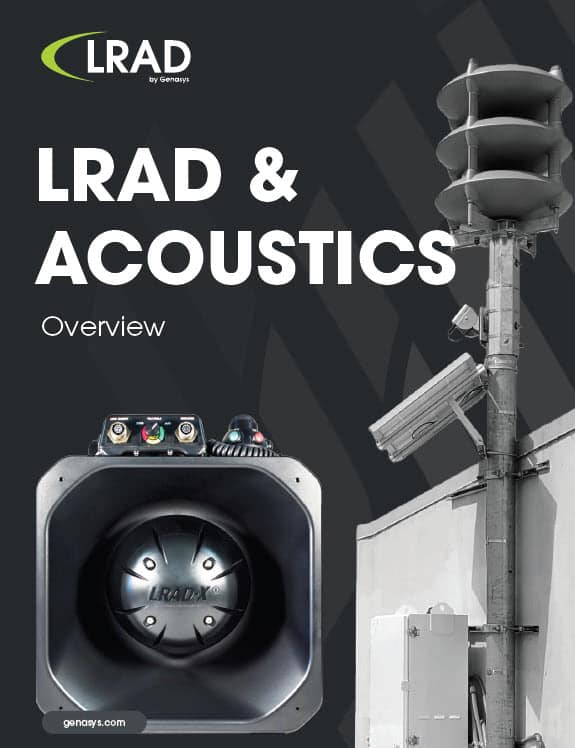
ACOUSTICS & LRAD: Broadcast specific, actionable long range voice commands and information with outdoor warning sytems. Send messages heard and understood above the noise of a thunderous storm, inside vehicles or buildings during evacuations, and during search and rescue operations. Keep broadcasts going even when power or satellite connectivity is down.
EVERTEL: Enable safe, secure, and compliant collaboration both within and between agencies to enhance daily operations and swiftly communicate with teams during a potential hurricane crisis.
Meet the public where they are, whether or not they register
Genasys Protect public mobile app and website
Zone-based mass notification using IPAWS-WEA
WAZE integration
Esri integration
Social media and Email integration
Outdoor, always-connected speakers to broadcast voice communication with specific actionable information