

By Steve Sickler, VP Field Operations at Genasys
First responders and Emergency Managers rely on their experience and local knowledge to guide their decisions and actions when wildfires occur. Genasys, the leading provider of Protective Communications solutions, augments that experience and local knowledge with a comprehensive evacuation management technology solution.
Enhancing Local Expertise with Advanced Technology
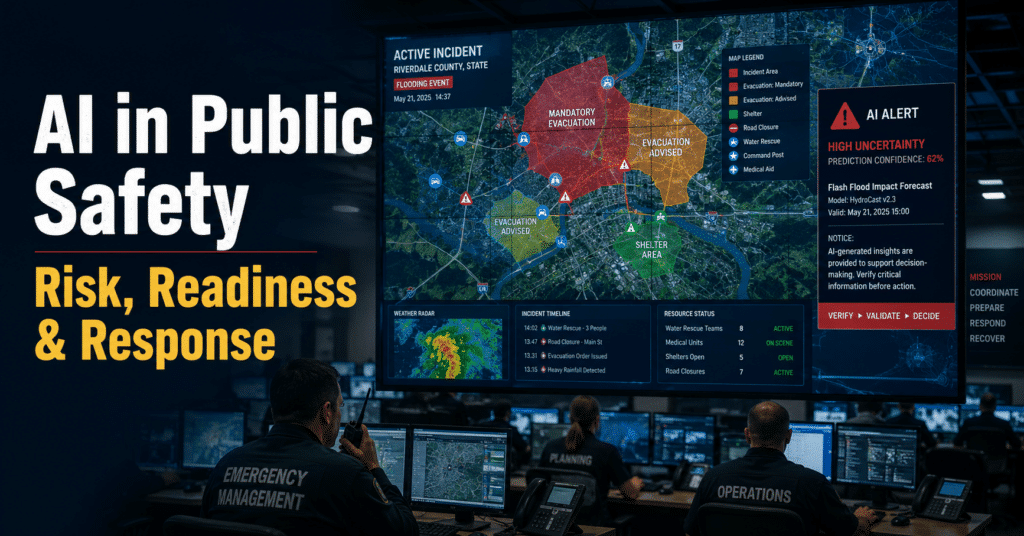
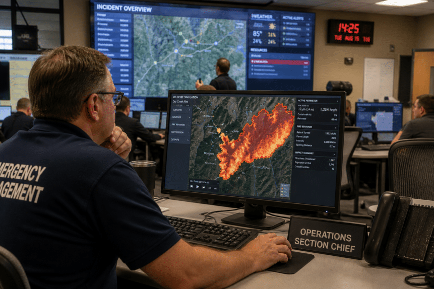
Only Genasys Protect provides a single end-to-end solution with a common operating picture that brings in the data sets and information you need, ensuring you have the information you need to make critical decisions for a unified response in real-time. Keep your community and local elected officials informed with accurate evacuation information and let them know when the danger has passed and it’s safe to return home.
Genasys Protect provides a common operating picture that makes collaboration with other agencies possible throughout the event:
- Prepare and test your response plans before the fire starts, and be sure neighboring jurisdictions and cooperating agencies are familiar with your plan.
- A true common operating picture ensures real-time interagency collaboration and coordination. No more waiting for critical information to work its way through a lengthy information chain.
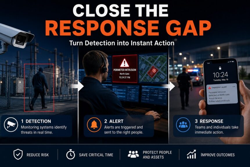
- Automated and configurable evacuation zones combined with multi-channel alerting enable first responders and emergency managers to precisely manage evacuation operations, allowing people to evacuate far more quickly, orderly, and safely.
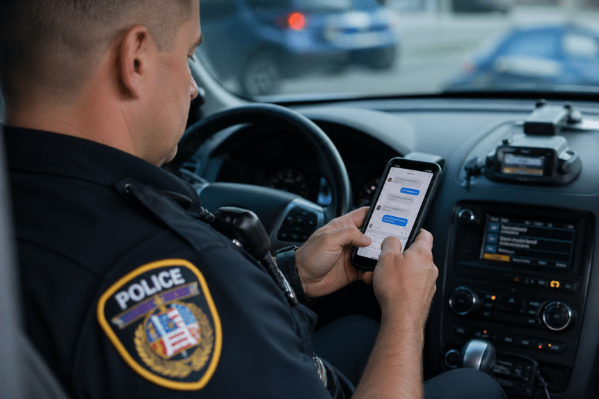
- A simple and intuitive public-facing website and mobile app provide 24/7 access to current and authoritative information so the public can get the information they need, from the people they trust.
Collaborating Across Agencies
State and local governments that partner with Genasys benefit from the Genasys Network Effect to create a whole that is decidedly greater than the sum of its parts:
- When neighboring jurisdictions are impacted by wildfire, they’re going to need your help. Know what’s happening before the call comes and watch out for one another using Genasys Protect.
- The common operating picture and real-time evacuation map enable neighboring jurisdictions providing mutual aid to arrive better prepared with a full understanding of the scope and scale of the incident and its impact on the community.
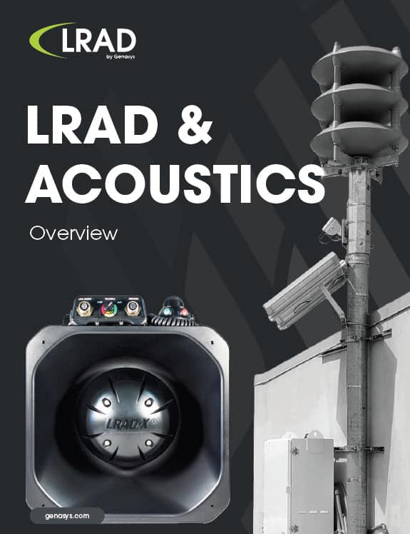
Don’t rely on paper maps, legacy communications, or dated technology. Get state of the art software and acoustic devices engineered to protect the community and first responders alike. Together, we make communities safer.
Learn more about how Genasys Protect helps minimize wildfire devastation through a unified response. Read more below:
- Keep People Safe from Wildfires with Genasys Protect
- Twelve Benefits of Intelligent, Real-Time Wildfire Evacuation Management and Repopulation Alerting
- Wildfire Simulation and Evacuation Management Training with Genasys Protect EVAC – Be Truly Prepared Before the Fire Starts
Contact Genasys to learn more and schedule a demo today.