











By Tynan Heller, Director of Product, Genasys Inc.
Key Takeaways:
- Communication zones provide a consistent geographic framework that improves emergency decision-making and public communications.
- Cross-agency collaboration between emergency management, fire, law enforcement, GIS, and transportation professionals creates communication zones that better reflect operational realities and improve emergency response.
- Regular GIS-based reviews and cross-agency collaboration help communication zones evolve alongside changing communities and hazards.
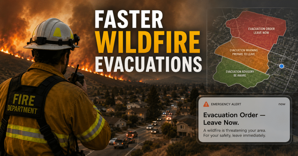
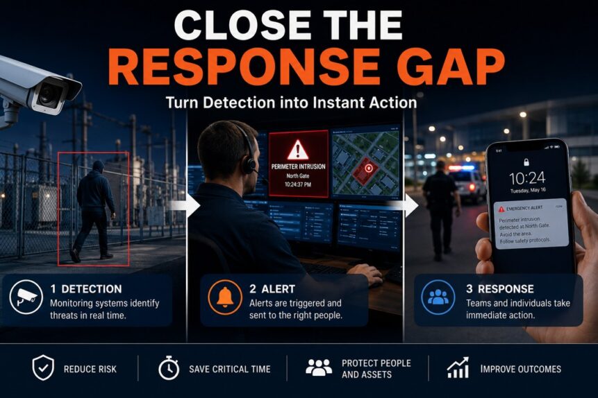
Wildfires and other rapidly evolving emergencies demand more than fast alerts. They require managing communications with precision so the right people receive the right information at the right time.
For agencies responsible for large geographic areas, that challenge becomes even greater. Rural terrain, changing hazards, seasonal tourism, and evolving infrastructure make it difficult to define evacuation areas that are both accurate and easy for responders and the public to understand.
Siskiyou County in Northern California has demonstrated that communication zones are not a one-time project. They are a living framework that should evolve alongside the communities they protect.
Why Is Managing Communications More Than Sending Emergency Alerts?
Managing communications means ensuring emergency information is accurate, timely, and geographically precise. Effective communication begins long before an incident by creating the framework that allows agencies to make confident decisions under pressure.
For Siskiyou County, that framework is built around communication zones that provide clearly defined geographic boundaries for evacuation warnings and orders.
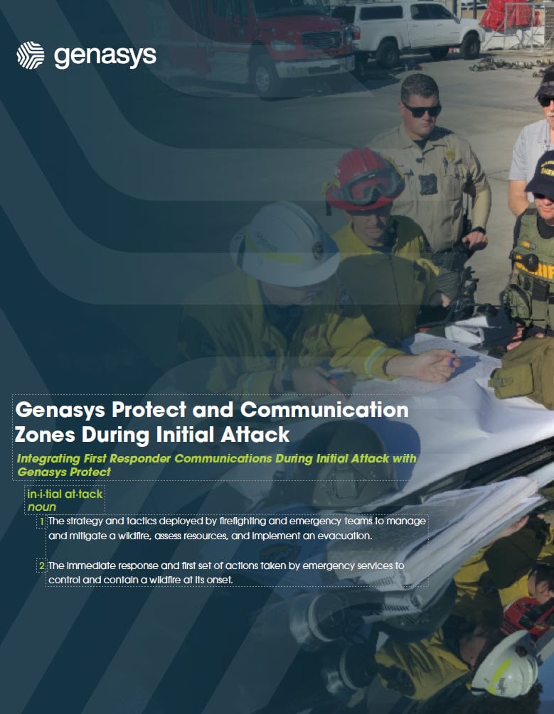
Instead of relying on informal place names or difficult-to-describe landmarks, responders reference standardized zone identifiers. This common operating picture enables emergency managers, incident command, law enforcement, fire agencies, dispatch, and GIS professionals to communicate using the same geographic language.
The result is faster decision-making with fewer opportunities for confusion during high-pressure incidents.
How Do Communication Zones Improve Emergency Response?
Communication zones improve emergency response by creating consistent geographic boundaries that can be understood by both responders and the public.
Before adopting standardized zones, describing evacuation areas in a rural county often meant referencing roads, creeks, or local landmarks that might not be familiar to outside incident management teams. During large wildfires, those descriptions could delay protective actions and increase the potential for misunderstandings.
Standardized zones simplify those conversations.
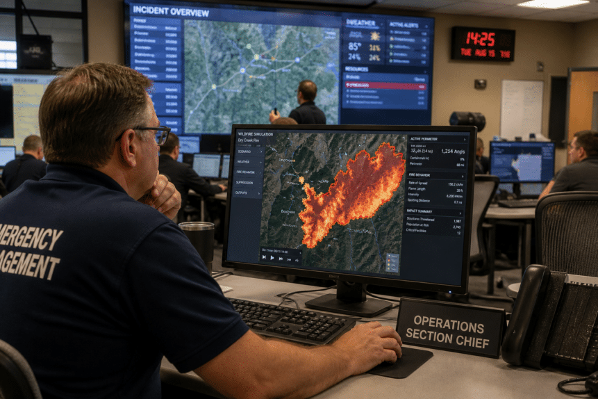
Incident commanders can quickly identify the areas requiring action, GIS teams can immediately map them, and emergency managers can issue warnings and orders with greater confidence. This consistency also helps residents become familiar with the zones that may affect them before an emergency occurs.
Why Should Communication Zones Be Reviewed Regularly?
Communication zones should be reviewed regularly because communities, infrastructure, and hazards continually change.
New neighborhoods are developed. Road networks expand. Even previous disasters, like wildfires, can alter landscapes. All of these changes influence how emergency managers should define protective action areas.
What Was Siskiyou County’s Solution?
Rather than treating communication zones as static boundaries, Siskiyou County incorporated annual reviews into its preparedness process.
The county evaluated previous incidents, incorporated updated GIS information, and refined zones to better reflect actual population locations and evacuation routes. This ongoing maintenance helps ensure communications remain both relevant and effective during future emergencies.
How Does Collaboration Create Better Communication Zones?
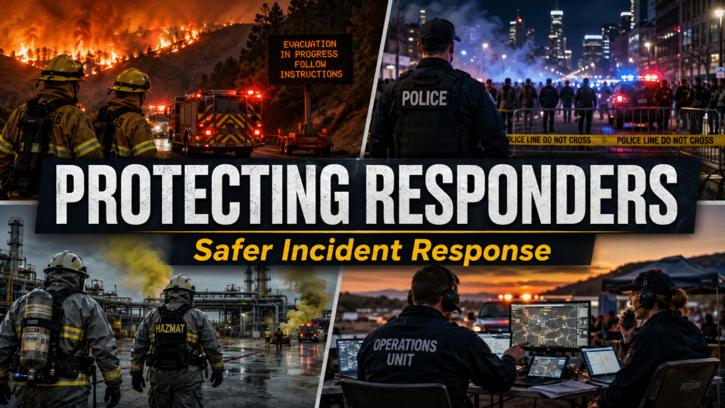
The most effective communication zones are built through collaboration among agencies with different operational perspectives. For example:
- Emergency managers understand incident coordination.
- Fire personnel know wildfire behavior.
- Law enforcement understands evacuation and traffic control.
- Transportation officials identify road closures and rerouting opportunities.
Local responders contribute knowledge that cannot always be seen on a map. By bringing these stakeholders together, agencies develop communication zones that account for operational realities instead of relying solely on GIS data.
Equally important, collaborative planning creates organizational buy-in. When responders help build the system, they are more likely to trust and consistently use it during emergencies.
How Can GIS Improve Managing Communications?
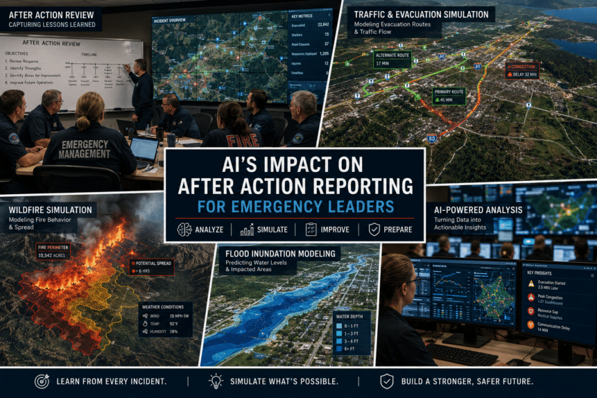
Modern GIS tools make communication zones easier to maintain, review, and improve over time.
Instead of relying on paper maps or email markups, Siskiyou County developed a collaborative GIS workflow that allowed participating agencies to propose edits directly within an online mapping environment.
This streamlined review process allowed GIS staff to evaluate suggested modifications, validate them against updated address data and imagery, and implement improvements efficiently.
The county ultimately expanded from 348 communication zones to 552, allowing emergency managers to target warnings and evacuation orders more precisely while reducing unnecessary notifications to unaffected residents.
More precise communication helps strengthen public trust because fewer people receive alerts that do not apply to them.
How Genasys Protect Supports Modern Communication Zone Management
Maintaining communication zones is not simply a mapping exercise. It is a core component of modern protective communications.
Genasys Protect enables agencies to create, manage, and continuously refine communication zones while delivering geographically targeted alerts through a unified protective communications platform.
Capabilities include:
- Zone-based protective communications
- GIS integration and collaborative workflows
- Multi-channel emergency notifications
- Shared operational awareness
- Faster coordination across emergency management, fire, law enforcement, and GIS teams
- Precision alerting that reduces over-alerting and improves public confidence
Rather than viewing communication zones as static boundaries, agencies can continuously improve them based on operational experience, changing hazards, and community growth.
As emergency communications become increasingly data-driven, maintaining accurate communication zones will remain a foundational element of protecting lives and improving response effectiveness.
Conclusion
Effectively managing communications begins well before an emergency occurs.
Organizations that regularly review communication zones, incorporate local operational knowledge, and leverage modern GIS tools are better positioned to communicate with speed, precision, and clarity when every minute matters.
For agencies seeking to strengthen emergency preparedness and improve public communications, communication zone management represents one of the most valuable long-term investments they can make.
Ready to improve your communication zone strategy? Contact Genasys for a demonstration of Genasys Protect and learn how a unified protective communications platform can help your agency deliver faster, more precise emergency communications.
FAQs
Why manage communications surrounding emergencies?
Managing communications is the process of delivering accurate, timely, and geographically targeted information to responders and the public before, during, and after an emergency.
Why are communication zones important?
Communication zones provide standardized geographic boundaries that improve coordination among emergency responders and allow agencies to issue more precise evacuation warnings and emergency alerts.
How often should communication zones be reviewed?
Most agencies should review communication zones annually and after major incidents, infrastructure changes, significant development, or updates to GIS and address data.
How does GIS improve emergency communications?
GIS provides accurate mapping, address validation, collaborative editing, and visualization tools that help agencies maintain communication zones and issue more targeted protective communications.