














How Siskiyou County Manages Communication Zones for Wildfire Evacuations
Evacuation zones only work when agencies can trust them under pressure.
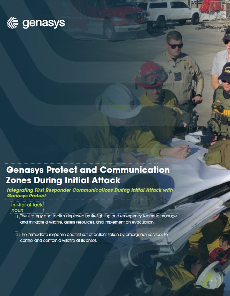
In this webinar, Adam Heilman and Brandon Konicke show how Siskiyou County uses Genasys Protect, ArcGIS, and local cooperator input to review, refine, and manage evacuation communication zones across one of California’s largest and most wildfire-impacted counties.
Viewers will see how Siskiyou County built a repeatable process for keeping zones accurate, actionable, and ready for real incidents. The discussion offers practical guidance agencies can apply to reduce over-alerting, improve evacuation coordination, and deliver clearer emergency communications to the right people at the right time.
Watch the Webinar to Learn
- How Siskiyou County reviews, updates, and manages evacuation communication zones
- How local fire, law enforcement, transportation, and GIS partners can collaborate on zone improvements
- How ArcGIS workflows and Genasys Protect support zone splits, merges, and more precise evacuation communications
- How refined zones help reduce confusion and improve coordination during wildfire incidents
- What other public safety agencies can learn from Siskiyou County’s repeatable zone management process
Featured Speakers
- Adam Heilman
Staff Services Analyst II, Siskiyou County Office of Emergency Services - Brandon Konicke
GIS Coordinator, Siskiyou County Office of Emergency Services - Tynan Heller
Director of Product, Genasys Inc. - Finnigan Damore Johann
Lead GIS Engineer, Genasys Inc.
Complete the form below to watch this webinar!