


PARTNERS
Genasys and Esri
GIS for Seamless Emergency Response and Critical Communications
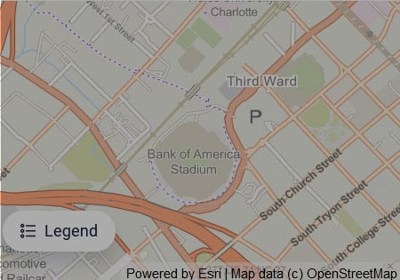
Genasys Protect is the first evacuation management and mass notification platform to use Esri maps and data services as the standard. Through this integration with Esri, Genasys Protect offers comprehensive risk planning, real-time awareness, multi-channel communications, and fosters cross-agency collaboration. This deep connection between Esri and Genasys Protect empowers agencies and first responders to synchronize more swiftly, pinpoint optimal locations, and base decisions on the most up-to-date and reliable data. Genasys Protect and Esri enable a faster response to emergencies and more precise targeting of critical communications.
The Benefits Esri with Genasys Protect.
Seamless Mapping Data
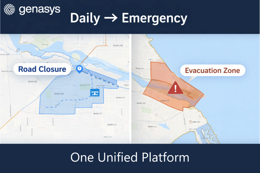
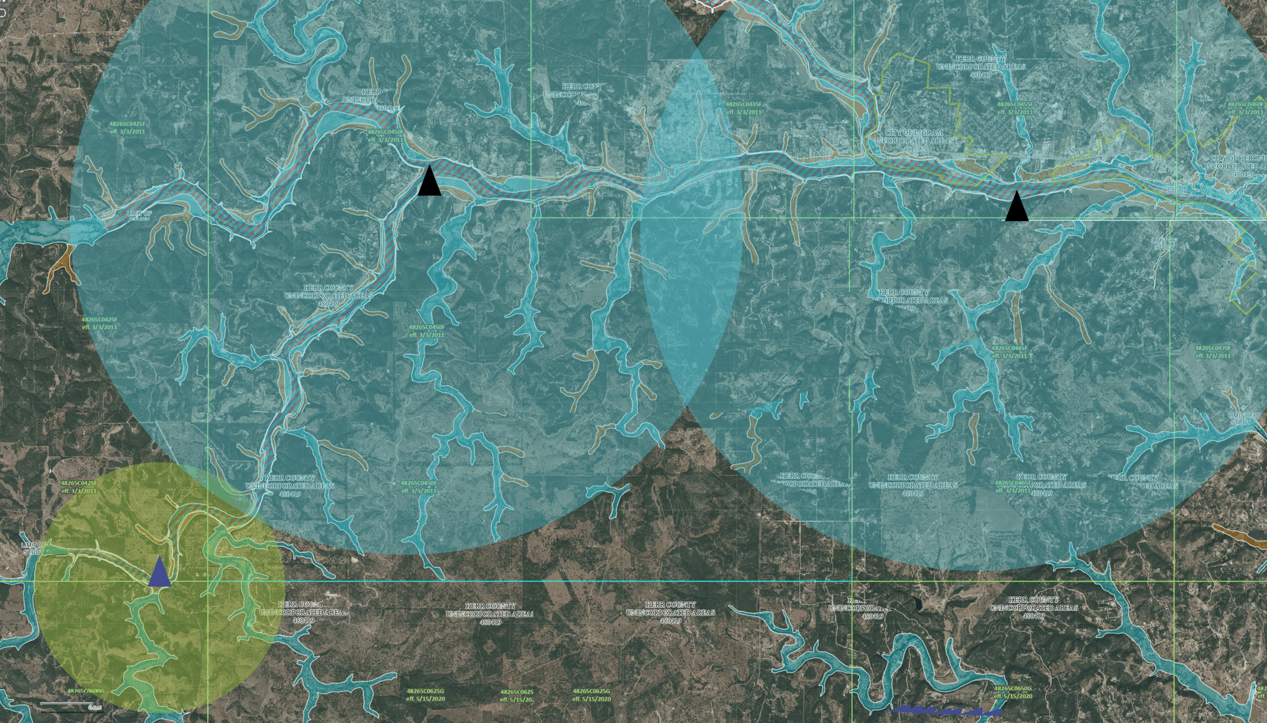
Hazards, including floods, wildfires, and hurricanes, do not follow jurisdictional boundaries. With Esri, Genasys Protect provides a seamless playbook for evacuation and emergency response across county lines.
Increased Data Intelligence
Pre-planned data combines with real-time data (weather, traffic, and hazard extents), and simulation tools to help make better decisions faster.
Multi-agency Alignment
Effectively respond to all-hazard events by providing a common operating picture across multiple agencies, reducing the time to make decisions and communicate life-saving messages.
Real-time Integration
Real-time integration between GIS data and operational solutions, like Tablet Command, public notification systems, and Intterra, accentuate a common operating picture for both agencies and the public.
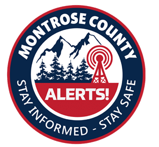
“By importing our GIS data into Genasys Protect we have a more complete catalog of structures, landmarks, and critical facilities in the system for enhanced notification zone development and understanding. As a result, when an emergency occurs, whether it be a snow storm, wildfire, flood, or violent crime, decisions can be made more accurately and quickly, notifications and information dissemination to the public can be more granular, and evacuations can be managed more effectively.”
Matt Goetsch
Montrose Emergency Telephone Service Authority
Montrose, Colorado
Genasys Protect Platform
Universal Protective Communications
Genasys Protect is a unified communications platform for businesses, education institutions, and government. Plan for any eventuality and be ready when it matters.

Genasys PARTNERS
About Esri
Esri is the global market leader in geographic information system (GIS) software, location intelligence, and mapping. Since 1969, Esri has supported customers with geographic science and geospatial analytics, what is called The Science of Where. Esri takes a geographic approach to problem-solving, brought to life by modern GIS technology. Beyond sophisticated maps and advanced geospatial analytics, Esri technology enables faster data sharing and more fluid collaboration. Business and government leaders around the world apply Esri’s technology to understand and address important challenges. Esri is used by 33,000 businesses, 12,000 national government agencies, 30,000 cities and local governments, and 12,000 nonprofits. Learn more about Esri at www.esri.com.