

By Adam Stewart, Product Marketing, Genasys Inc.
Key Takeaways
- As flood events become more frequent and less predictable, communities cannot rely solely on outdated floodplain maps or broad countywide alerts. Long-range acoustic systems provide real-time, location-specific voice instructions that drive immediate protective action.
- Traditional sirens and generic mobile alerts often create uncertainty or are ignored. Acoustic systems broadcast clear, intelligible voice commands such as “Flash flood. Evacuate now,” eliminating ambiguity and reducing hesitation during fast-moving flood emergencies
- Floods frequently disable power and cellular networks. Long-range acoustic devices operate with battery backup, satellite connectivity, and redundant systems, ensuring communities can still receive life-saving instructions when digital channels fail.
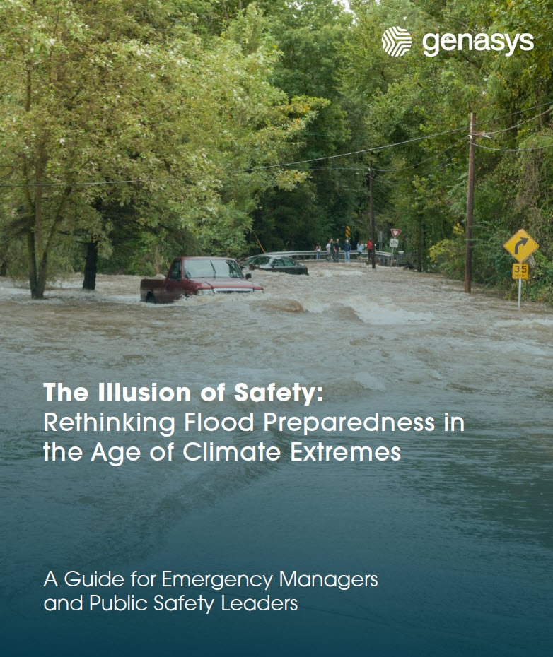
In communities across the globe, from the Appalachians to Texas to the coast of Australia, floods are no longer rare anomalies. They are recurring crises. Whether it’s a Category 4 hurricane or a torrential downpour in a city street, the message is the same: our old assumptions about flooding no longer hold water. As a certified civil and water resources engineer who spent the better part of a decade developing FEMA floodplain maps across the southeastern U.S., I have seen first-hand how critical it is to update our communication and planning in the face of damaging flood threats.
We’re Not in the “100-Year Flood” Era Anymore
Let’s start with a couple of stories you’ve likely heard or lived.
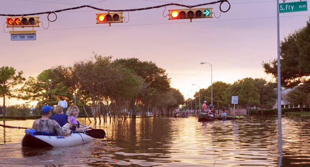
- In early July 2025, Central Texas experienced devastating flash flooding, especially along the Guadalupe River in the Texas Hill Country, after intense thunderstorms and tropical-moisture-laden storms dumped extraordinary rainfall over a short period.
- Hurricane Helene battered the southeastern U.S., drenching the mountains of North Carolina after already-saturated ground was hit by a preceding front. In its wake, entire neighborhoods were underwater.
- Just weeks later, in Valencia, Spain, a much smaller system caused nearly as much devastation.
We’re seeing this everywhere. Southern Brazil, Queensland, and even urban corridors in the U.S. are facing unprecedented floods. What used to be “once in a century” is now happening with alarming regularity.
And yet, communities still rely heavily on outdated floodplain maps based on static, idealized conditions. These models don’t reflect today’s storm behavior, and that’s a problem.
The Problems with Traditional Flood Models
Floodplain maps are primarily designed as planning tools for insurance purposes. Built using tools like HEC-HMS and HEC-RAS from the Army Corps of Engineers, they estimate what happens when a theoretical storm dumps rainfall on a watershed under “normal” conditions. But reality doesn’t care about assumptions.
Storms today are stronger, wetter, and faster. Waters may already be elevated from earlier rainfall. Urban development adds more impervious surfaces, speeding runoff into streams and rivers. A map built 20 years ago, before a town added 40,000 new residents, can’t possibly reflect that.
Worse still, the public and often local leaders misunderstand what a “100-year flood” means. It’s not that such an event happens only once a century. It means there’s a 1% chance it happens any given year. And if it happens this year, that probability resets tomorrow.
This misconception breeds complacency. Homeowners think they’re safe because they’re just outside the mapped flood zone. But water doesn’t respect those lines. If floodwaters are already high when another storm hits, that house is still in danger.
The Danger of Outdated Maps and Alert Fatigue
Even when alerts go out, they’re often too broad or too late. Many people turn off flood warnings on their phones because they’ve been woken up too many times for events miles away. They grow numb to sirens they can’t interpret. Is it a fire? A tornado? A test?
This alert fatigue is dangerous. In Helene, power and communications infrastructure failed early, leaving residents without access to updated warnings. People were caught off guard. Lives were lost, but we can (and must) do better.
Smarter Models and Targeted Warnings: A New Way Forward
The good news is that better tools exist.
Today’s models can incorporate real-time rainfall, topographic data, and streamflow conditions to project not just what is happening, but what will happen in the next few hours. These forecasts are powered by AI and constantly updated with the latest information.
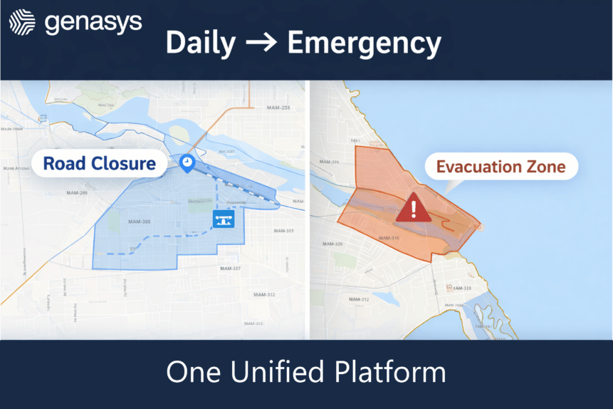
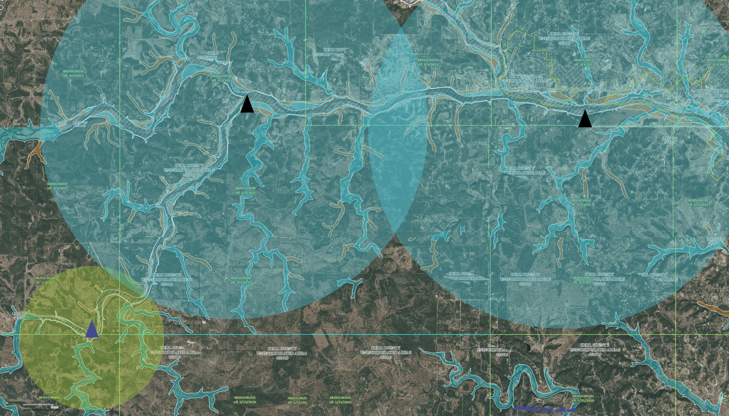
Through our partnership with FloodMapp, Genasys is delivering these real-time flood models straight into the hands of emergency managers. And more importantly, into the pockets of residents through targeted, geo-specific alerts via Genasys Protect and LRAD systems.
We’re not sending out a blanket “flash flood watch” for an entire county. We’re alerting just the people who are in danger. And when cell towers go down, our long-range acoustic devices (LRADs) can broadcast clear, intelligible voice messages, such as “Flash flood. Evacuate now,” for miles. This is the kind of layered, redundant, and resilient system communities need today.
From Prediction to Prevention
Floods are inevitable. But preventable tragedy is not. When emergency teams and citizens have access to accurate models and actionable alerts, we move from guessing to knowing and from reacting to responding.
We can’t move homes. But we can move people.
At Genasys, our mission is simple. We help communities like yours be safer, smarter, and better prepared. Whether it’s a hurricane, flash flood, or urban storm surge, we offer tools, from advanced modeling to targeted communication, that can save lives.
Because no one should go to bed thinking they’re safe, only to wake up with water rising in their bedroom.
Interested how Genasys can help? Reach out, today!
FAQs
1. How do long-range acoustic systems improve flood emergency response?
Long-range acoustic systems improve flood response by:
- Broadcasting clear voice evacuation instructions
- Reaching residents indoors and asleep
- Operating when power and cellular networks fail
- Supporting targeted, geo-specific communication
They transform alerts from vague warnings into direct, actionable instructions.
2. Why are sirens not enough during flood events?
Sirens signal danger but do not explain the threat or required action. During floods, residents need to know:
- What is happening
- How severe it is
- Whether to evacuate or shelter
- Where to go
Acoustic voice systems replace confusion with clarity.
3. Can acoustic flood warning systems work during power outages?
Yes. Modern acoustic systems are designed with:
- Battery backup
- Solar power options
- Satellite connectivity
- IP-based integration
This allows them to function even when electrical grids and communication networks are compromised by flooding.
4. How far can flood warning acoustic devices reach?
Depending on configuration:
- 360-degree systems can cover more than one mile in all directions
- Directional systems can project intelligible voice messages over one mile in a focused path
This ensures coverage for river corridors, evacuation routes, rural areas, and urban neighborhoods.
5. How do acoustic systems support targeted flood alerts?
Acoustic systems integrate with geo-targeted alerting platforms and real-time flood modeling to:
- Warn only those in immediate danger
- Reduce alert fatigue
- Provide location-specific evacuation guidance
- Reinforce digital alerts with audible instructions
This layered approach increases compliance and improves life safety outcomes.