


By Pedro Candela Terry, Content Marketing Manager, Genasys Inc.
Key Takeaways:
- El Niño is getting attention, but it is only one part of the 2026 wildfire picture.
- Other conditions already taking shape in the West may have more immediate operational significance for fire agencies.
- For the fire service, the bigger question is how these signals could affect readiness, coordination, and Initial Attack.
Fire agencies heading into 2026 have more than one seasonal signal to watch, and some of the most important ones are already on the ground. NOAA says El Niño is likely to emerge later this year, but that forecast comes with uncertainty. What is less uncertain is that much of the West is already dealing with historically low snowpack, snow drought, early melt-off, and persistent drought pressure.
El Niño may influence the background conditions for the season, but it does not determine wildfire behavior on its own. For fire agencies, the more useful question is not whether El Niño will arrive. It is what conditions are already taking shape, and how they could affect fuels, timing, readiness, and Initial Attack.
El Niño matters. But it is only part of the picture.
NOAA’s April outlook says ENSO-neutral conditions are favored in the near term, with El Niño likely to emerge in early summer and persist through at least the end of 2026. It also says a very strong event is only a possibility, not a certainty. That is an important distinction. El Niño is worth watching, but agencies should treat El Niño as one planning input, not the headline that explains everything.
For firefighters, the better frame is operational. Seasonal climate patterns matter because they can affect precipitation, snowpack, heat, and drying. But those broad signals still have to filter through local fuels, topography, and weather before they show up as fire behavior or response pressure.
The western setup is already changing
The bigger story right now is the condition of the West itself. Drought.gov’s April 9 update says Arizona, Colorado, Idaho, Nevada, New Mexico, Oregon, Utah, and Wyoming all recorded record-low April 1 snow water equivalent this year. California posted its second-lowest April 1 value on record. Earlier in March, Drought.gov reported that every major river basin and state in the West had experienced snow drought conditions.
Heat has added to the problem. NIFC says March was exceptionally warm across much of the West and that some basins in the Southwest and Great Basin hit melt-off four to six weeks earlier than the previous earliest recorded dates. Drought.gov similarly describes a “March meltdown,” with rapid snow loss across much of the region.
While that does not give every agency the same forecast. It does narrow the margin for error. When snowpack disappears early and drought pressure persists, the seasonal buffer gets thinner. Agencies do not need to assume worst-case conditions everywhere. But they do need to recognize that some of the usual assumptions about timing and pacing may no longer hold.
What this means for firefighters
These conditions matter because they can change the tempo of the season before peak summer arrives. Low snowpack and faster melt-off can contribute to earlier drying in some areas. Persistent drought can make local conditions less forgiving. And NIFC’s current outlook says above-normal significant fire potential is expected to expand into much of the northwestern U.S. and the Greater Four Corners by June.
The system is already showing early pressure. NIFC reported increasing fire activity in March, and the National Preparedness Level rose to 2 on March 20. That is a reminder that seasonal risk is already being shaped by conditions on the ground, not just by what may happen in the tropical Pacific later this year.
For experienced firefighters and fire leaders, that is the real takeaway. This is a story about compressed timelines, uneven local conditions, and a season that may become harder to summarize with one national narrative.
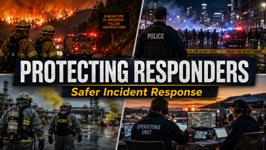
Why Initial Attack matters even more in a less predictable setup
When the seasonal picture gets less predictable, Initial Attack becomes more important.
Earlier drying can shorten the runway between “normal spring conditions” and days when an ignition carries more potential than expected. It can also complicate resource decisions, because shoulder-season assumptions may not line up cleanly with what crews are seeing on the ground. A season shaped by uneven snow loss, drought pressure, and variable regional outlooks puts more pressure on fast situational assessment in the first operational period.
It also raises the cost of hesitation. When local conditions are changing faster than the calendar suggests, delays in detection, dispatch, size-up, coordination, or public information can have bigger consequences. That means Initial Attack discipline matters more because the penalty for getting behind the incident can rise faster in an environment with thinner margins.
If you have already been working on Initial Attack doctrine, cross-agency coordination, or early incident communication, this is the time to pressure-test those plans against a season that may not behave in familiar ways.
What agencies should watch now
The most useful approach is watching the conditions most likely to affect operations directly.
Agencies should watch how regional snowmelt is translating into drying, where drought is persisting or expanding, how local fuel conditions are responding to spring weather, and where significant fire potential is shifting over the next few months. Insights from NOAA, Drought.gov, and NIFC are most valuable when they are used as planning inputs alongside local intelligence.
When conditions change faster, coordination matters more
A season shaped by multiple interacting signals tests how quickly agencies can build a shared understanding of conditions, align decisions across jurisdictions, and communicate clearly with the public.
That matters before incidents start, during Initial Attack, and after a fire begins to grow. If local conditions are changing faster than the seasonal narrative suggests, agencies need a clear common operating picture and a faster way to move from fragmented information to coordinated action. In that environment, communication is a critical part of operations.
Genasys Inc.
When agencies are dealing with uneven conditions, fast-moving incidents, and pressure to coordinate quickly, they need better situational awareness and faster ways to share trusted information internally and externally. Genasys supports that need by helping agencies maintain a clearer common operating picture, coordinate decisions across teams, and communicate with the public when conditions change quickly.

The bottom line
El Niño may return later in 2026. It is worth watching. But western fire agencies should be paying at least as much attention to the conditions already in front of them: historically low snowpack, snow drought, early melt-off, drought persistence, and shifting fire potential. The question is whether agencies are ready for a season shaped by multiple interacting signals and narrower margins for error. That is why now is the time to watch conditions closely, strengthen coordination, and make sure Initial Attack readiness is where it needs to be.