

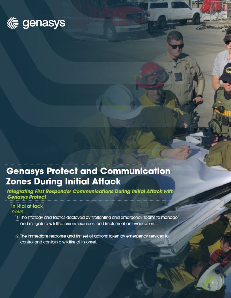


Situation
Due to its location and warming climate, wildfires are a natural part of Malibu’s ecosystem. Located about 30 miles northeast of Downtown Los Angeles in the Santa Monica Mountains, the Malibu area is particularly susceptible to an increased wildfire risk, averaging 14 to 18 red flag warning days between October and December each year.
In the fall and winter of 2024, conditions aligned for major wildfire activity throughout the entire southern region of California. The area had experienced several years of wet weather which led to a buildup of fuels, followed by hot, dry conditions in late summer and early fall that removed moisture from vegetation. To further complicate the situation, strong Santa Ana winds are common this time of year and bring hot, drying winds moving at enormous speeds from the Great Basin Desert that overlaps Nevada, Utah, Wyoming, and Idaho.
Problem
On December 9, 2024, 10:50 pm, in Malibu Creek State Park, a fire ignited surprising many people as they slept. Strong Santa Ana Winds hyper-fueled the fire spread tripling it in size in less than an hour. At one point, the fire was burning areas larger than five football fields every minute.
Within the first hour at 11:23 pm, the Los Angeles County Fire Department had issued mandatory evacuation orders through Genasys Protect to the surrounding community notifying people of critical emergency messaging and evacuation warning instructions.
Solution
The zone-based Genasys Protect emergency response and management software had been implemented in the Los Angeles area allowing data-driven intelligent evacuation protocols to be communicated to the first responders and community members in real-time. Genasys Protect facilitated faster, more precise identification of fire spread on a zone-by-zone basis and allowed emergency responders to coordinate action plans between all mutual aid agencies.
Results
All evacuation orders were communicated directly to citizens through the Genasys Protect mobile app and website allowing individuals to evacuate as quickly as possible with up-to-date information. This was especially crucial to saving lives during this fast-moving nighttime wildfire.
During this fast-moving wildfire, Genasys Protect allowed the Los Angeles Fire Department to use actionable information to communicate evacuation instructions and warnings to the appropriate zones helping to move citizens out of harm’s way as quickly as possible.
In the final analysis, over 4,000 acres burned (or 16 square kilometers), 20,000 people were successfully evacuated through evacuation orders and warnings, and 40+ structures were destroyed. Remarkably, there were no deaths in large part because of the early notification of emergency communications.
Genasys Protect’s rapid response capabilities improve situational awareness for all emergency responders and measurably reduce public alerting times by up to 90%. Additionally, Genasys Protect allows the EOC to improve evacuation planning through flexible zones while communicating relevant information, such as shelter locations for people and animals, traffic routes, and medical facilities.