
Introducing Custom Zones, LRAD RT, and the FloodMapp Partnership
By Adam Stewart, Product Marketing, Genasys Inc.
The Genasys Protect and LRAD winter update is here! The changes across our Protective Communications software platform and our LRAD lineup will revolutionize public safety. Curious why now is the time to have Genasys Protect and LRAD by your side? Here’s why it matters!
Custom zones:
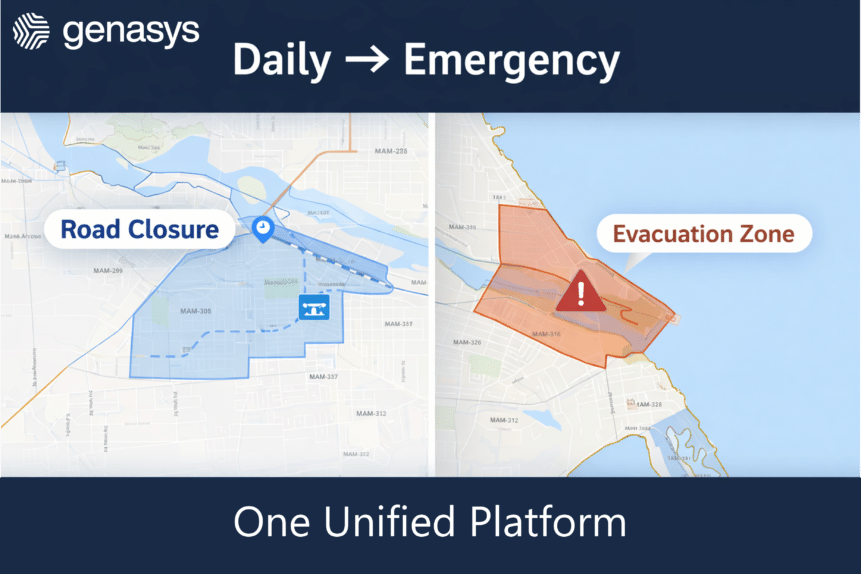
Now, included with Genasys EVAC, you can draw and edit custom zones to work in all hazard applications. Draw a polygon, a radius, or any custom shape to make a new zone on the fly to cover any situation, from shelter in place to evacuation orders.
In EVAC, make your own GIS layers into zone areas and add local insights to tailor your zones to your region. With custom zones, you can easily switch between active zones to address different boundaries for all hazards, including wildfires, floods, hurricane storm surges, civil unrest (shelter in place), and more.
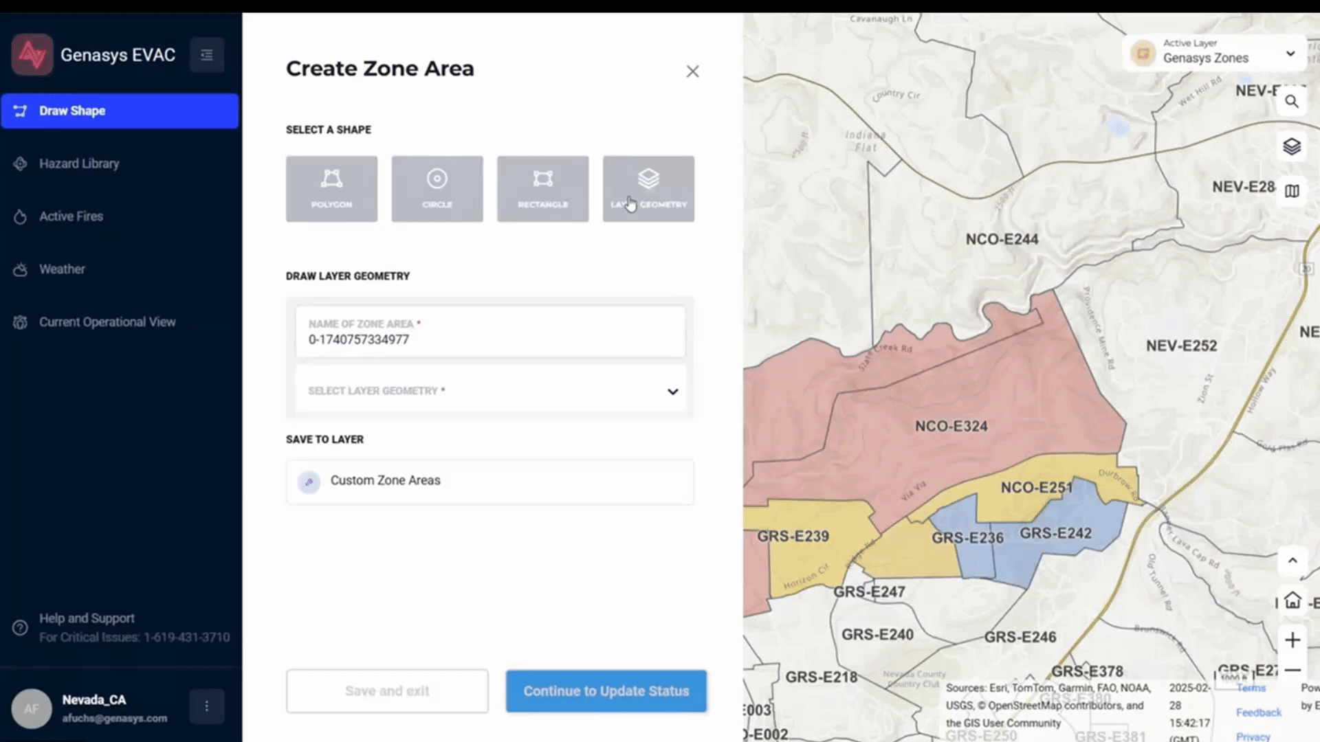
Draw and edit custom zones to work in all hazard applications, easily switching between active zones to fit the situation, from fires to floods, from evacuation readiness to shelter-in-place orders. Turn your own GIS layers into zone areas and add local insights to tailor your zones to your region.
Streamlined Mutual Aid
In addition, with EVAC you can now work with mutual aid partners even easier, as EVAC lets you manage multiple organizations across the solutions. You can maintain cross-jurisdictional alignment during incidents and even incorporate out-of-district teams and agencies during mobilized aid. With just a couple of clicks, you can switch between organizations, so everyone is working off a common operating picture with EVAC.
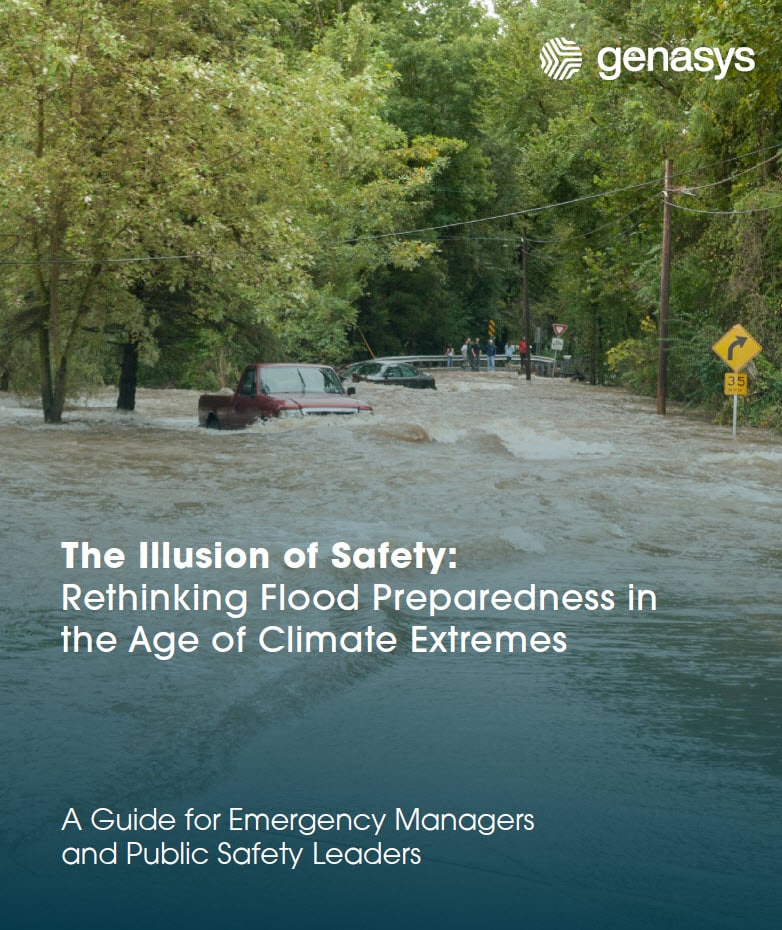
FloodMapp
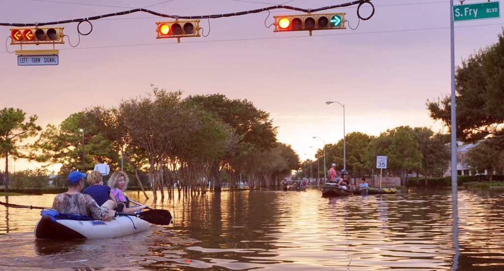
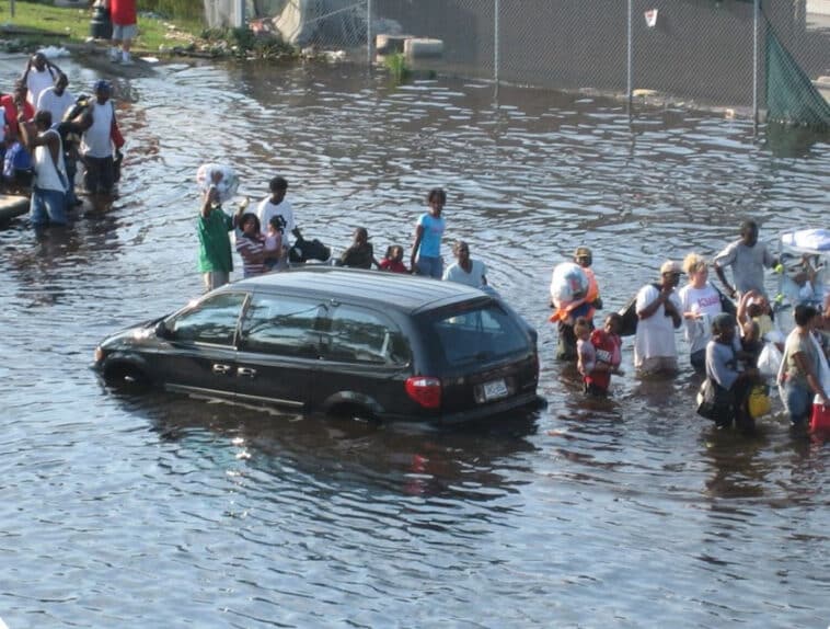
When storms approach, combine Genasys Protect FloodMapp to keep people safe from rising waters, one of the deadliest forces on the planet. Whether flash floods during summer storms, atmospheric rivers, or inland threats from hurricanes, rising water can destroy lives, and seconds matter to get people to safety.
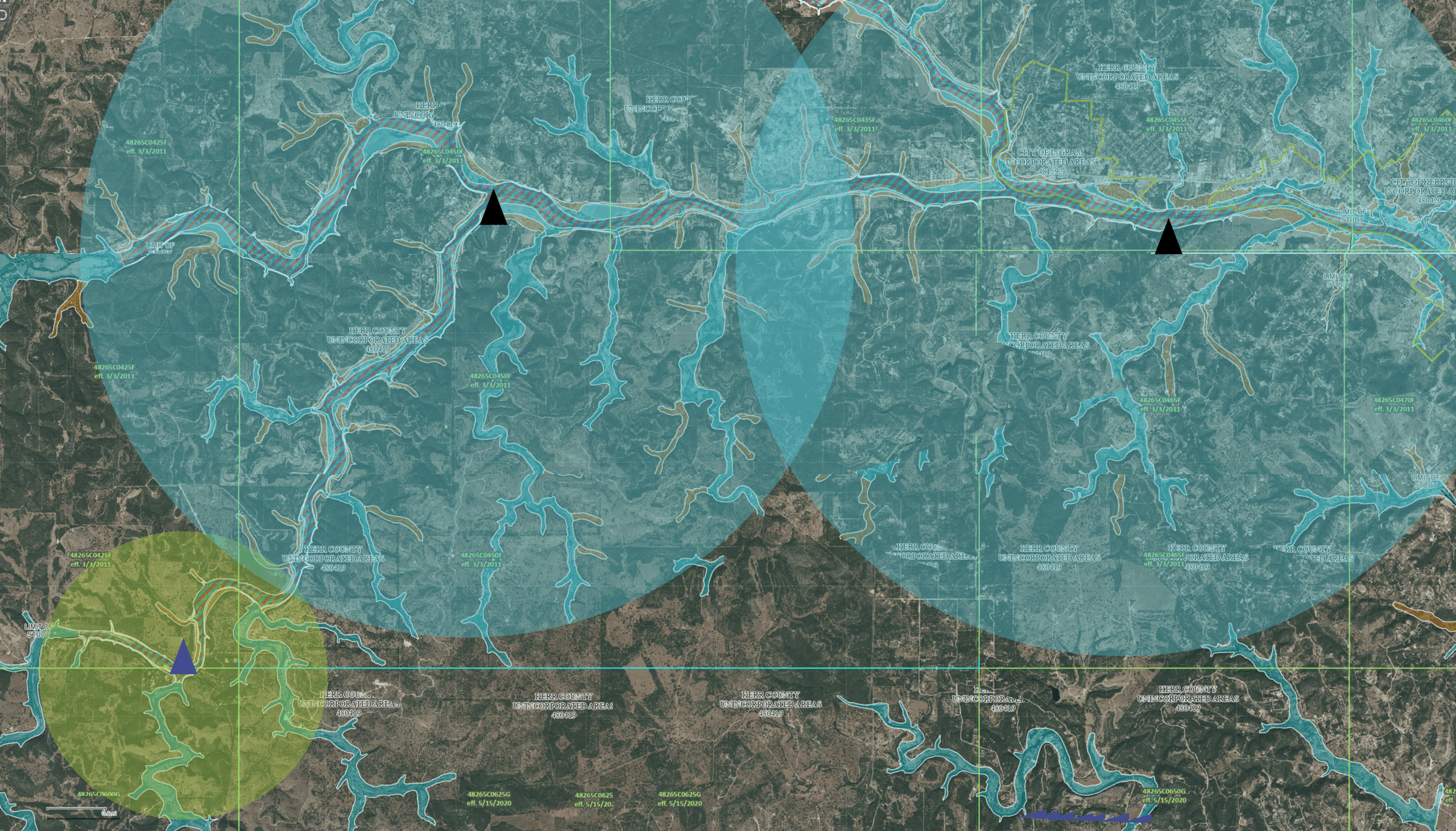
FloodMapp provides the top technology available to forecast flood levels before it’s too late. The models use existing stages from live stream gages to predict dangerous flood levels. FloodMapp works with EVAC in carefully delineated flood zones, so officials can notify residents if and when to evacuate.
Stop relying on outdated, static flood maps that don’t use real-time data to make evacuation decisions. Don’t rely on broadcast alerts for flash floods that people may ignore. Use the best data with FloodMapp and send evacuation warnings to the people in danger with EVAC. Together, these solutions save lives.
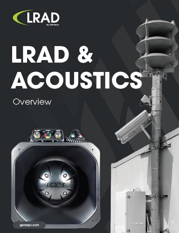
LRAD RT
LRAD RT (Reach Technology) is the first Acoustic Hailing Device with an interface for full-featured digital operation, providing local or remote control without cumbersome external add-ons or converters. The revolutionary RT is compatible with existing LRAD options like the wireless transmitter/receiver/headset that enables operators to communicate through multiple LRADs simultaneously out to 200 meters.
With LRAD RT, you get a native digital interface, flexible and upgradable firmware, an advanced Class D amplifier, and system health checks. The interface and external design are nearly identical to previous generations, minimizing disruption for current users and ensuring backward and forward compatibility. All accessories compatible with previous LRAD systems can also be used with the new RT series.
LRAD RT is currently available in the 450XL-RT and 500X-RT, and the 1000Xi-RT and 1950XL-RT will be available later in 2025.

Interested in learning more about these product updates or more about Genasys Protect and LRAD? Watch the recorded webinar of the updates and reach out, today!