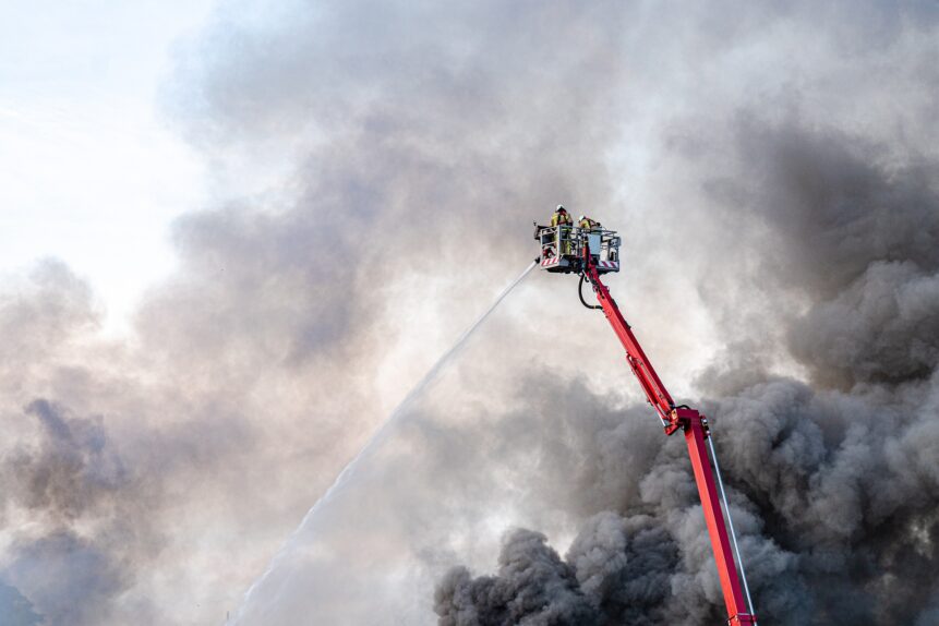
Emergency response teams are faced with a multitude of high-impact events that require fast action and possible evacuation. During our recent webinar, we spoke with industry veterans about how they leveraged technology to make fast and efficient evacuation management decisions. We want to share their stories.
Multi-County Flooding Disasters in California
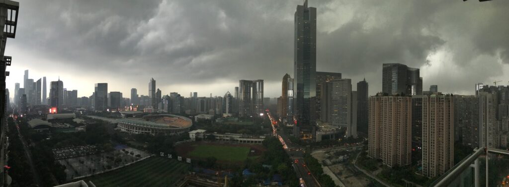
Over a period of 16 days in early 2023, counties across California were impacted by multiple atmospheric river flooding events. These atmospheric river storms created unprecedented rainfall, which had been preceded by wildfire scar damage that exacerbated debris flows, mudslides, and avalanches.
These floods presented unique challenges to the responder community, where multi-agency coordination and critical communications can often take hours to establish. First responders and emergency teams were dealing with multiple events happening simultaneously, including:
- River and tributary flooding
- Urban, residential, and coastline flooding
- Storm surges
- Mudslides
- Trees down
- Power outages
- Winter storm warnings
- Avalanches in the Sierra Mountains
Where Quick Action was Required
With water levels rising and time of the essence, immediate action was required to:
- Identify the location and extent of each hazard.
- Determine how it will evolve over time.
- Establish communication and coordination between agencies, responder teams, and the public.
- Initiate emergency evacuation plans in pre-established zones.
- Notify the public of evacuation zones, orders and routes, road closures, shelter locations for people, pets and livestock, and resource locations like sandbag fill stations, debris drop-offs, and cooling stations.
- Notify visitors, tourists, and non-residents traveling through the affected areas.
- Communicate power outages, compromised water and sanitation systems, and potential water-borne disease outbreaks.
Talking with the Pros — How Pre-Planning Made All the Difference
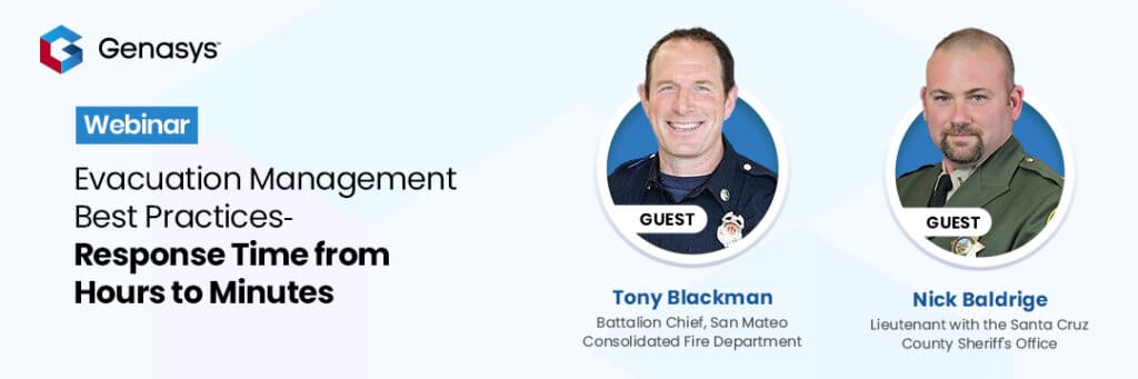
In our recent webinar, Tony Blackman, Battalion Chief, San Mateo Consolidated Fire Department (including South San Francisco, Palo Alto, and San Jose), and Nick Baldrige, Lieutenant, Santa Cruz County Sheriff’s Office (south of San Jose, including Santa Cruz and Monterey Bay), discussed some of their emergency planning learnings and evacuation experiences.
Here we share some of our discussion (paraphrased):
QUESTION: Please share some of the key aspects, critical events, and related emergencies you experienced. Were you able to draw from your experiences battling wildfires?
Nick Baldrige – “With wildfires, there is a scramble at the beginning, and then you and your teams get into a rhythm. But with these floods, things were happening faster than we could respond. We were watching river gauges jump 2, 3, and 4 feet in an hour.”
“Across the entire county—shoreline, residential, rural—we got the full gamut of everything. Our rivers and tributaries were not designed for the level of water we received. We experienced flooding in the North part of the county all the way South over a 16-day span, with four major waterways that flooded during every event.”
“In addition, high winds created tidal surges impacting our coastlines, houses were severely damaged, power was out, and trees were down, creating extremely difficult conditions.”
Tony Blackman – “We have a lot of fires in California, and we have a good sense when they start off where they’re going to go, how each is going to be a little different. With these floods, there wasn’t a single point of origin; rather, it was hitting all over the county simultaneously.”
“Our rivers and tributaries were flooding, plus, to complicate matters, the King Tides were very high, making it difficult for the bayside of the county to drain into the San Francisco Bay.
This was a true test of the system—one thing after another cascading. There were 20 different cities/agencies involved in the coordination and execution of evacuations. Our major east-west thoroughfares were shut down. Bayside, where the major population centers are, had critical infrastructure down, and many small communities with one way in and out were cut off by downed trees – completely isolated.”
“This was the third wettest storm in San Mateo County history; it hasn’t snowed here in 50 years. Following a 10-year drought, we weren’t geared up for this level of flooding. In fact, most of our personnel have faced these issues in theory but not in real life.”

QUESTION: You have both talked in the past about the importance of pre-planning—tell us how that helped you manage these flood disasters.
Nick Baldrige – “With the atmospheric river storm on New Year’s Day, we weren’t expecting the level of flooding we received. However, we knew this event was going to be prolonged by multiple storms. So, we had to ask ourselves, ‘How do we plan for the rest of the event?’
“We worked to identify zones, designed pre-scripted messages for flooding, mudslides, power outages, etc., and created scripts to plug and play when we needed to send out notifications to the public and to local stakeholders.”
“We defined zones broken up by fire districts, and each district might have 10, 30, 40, or 50 independent zones – small pockets that you can identify as areas of threat. Most designed around fire response.”
“Following the 2020 CZU Lightning Complex Fire in San Lorenzo Valley, leaving a substantial burn scar, we began to identify areas of potential debris flow, breaking down bigger zones into even smaller zones. These evacuation zones are still in place today and greatly helped our efforts when the floods hit the valley during these latest storms.”
“Going back now, we are redeveloping multiple zones, like in the Soquel area where they have one main road and 20,000 residents.”
Tony Blackman – “We did a lot of those same things. In addition, in San Mateo County, a lot of languages are spoken. We were able to script and translate messages into multiple languages.”
“San Mateo County has mountains in the middle with coastline and bay shore on either side with three large reservoirs that serve the City of San Francisco. One came within a foot of going over the spillway. Through complex, ongoing communications, we were able to coordinate releases that had to be done at low tide or risk flooding. Additionally, we were able to split up zones in high-density areas based on the topography of the area, where we could preplan for diverse areas with hospitals, senior living, single family, high-net-worth homes.”
QUESTION: How did pre-planning help you manage this emergency better?
Tony Blackman – “I was assigned to Emergency Operation Center (EOC), where it’s an information game. Gather information, tabulate it, and coordinate it amongst many large screens up on the wall—it was an easy way for us to track threats by zone (over 400 active zones during the event). At any one time, we had an average of 57 highlighted zones at the evacuation advisory level.”
“Using Genasys Protect™ with Zonehaven, we knew exactly how many residents we were looking at. We could calculate exact numbers, e.g., 20,200 folks in 11,807 structures on 160,000 acres needing evacuation. Zonehaven gave everyone an instant snapshot of what we were up against.”
“As the weather progressed, we could add or subtract zones, change things, and see the impact in real-time. We also used Zonehaven to track all road closures – both public and for responders. This allows us to:
- Keep track of traffic control points and keep responders up to date.
- Everyone could see the information instantly, including law enforcement, fire, and dispatchers.
- Unexpectedly, PG & E, the utilities company, could see everything, which helped them in getting to power outages and downed lines.”
Nick Baldrige – “We had similar experiences. For example, we used Zonehaven to temporarily split zones so that we didn’t over-evacuate a whole area when not all of it was impacted. In one particular case, we had a zone with two hospitals that were not impacted but needed to be isolated from the rest of the zone to avoid creating a situation where people did not know where to go for care.”
“We were able to get pre-messaging done for areas identified as potentially isolated (one way in or out). We were able to get them the information they needed to prepare themselves to be cut off for a day or two or to get to a better location.”
QUESTION: Final thoughts on how Genasys Protect and Zonehaven were useful before, during, and after the event?
Nick Baldrige – “It was very good to have the preplanning and pre-scripting ready to plug and play as an option. Also, being able to visualize the zones, impacted areas, and evacuation details – it was easy for us to identify locations and push that into to our dispatch center, as well as social media and the public. Being able to preplan after the first New Year’s Day flood was seamless.”
Tony Blackman – “Very intuitive. Less than a minute to identify and address issues or split zones. Outsourced updating to all first responders was a big help as well. Zonehaven gave us the ability to fine-tune zones—just click and add or subtract areas as needed or issue pre-scripted mass notifications.”
How Can Pre-Planning Help Your Team Be Prepared?
A lot of the chaos that happens during the early phases of an incident can be mitigated through effective planning and preparedness before an event. Genasys Protect’s Evacuation Management Software can help you:
- Strengthen or establish lines of communication with related agencies through a unified and integrated critical communications system.
- Ensure a zone-based evacuation system is in place and operational prior to the next emergency and that all local agencies are aware of or trained in the layout.
- Develop an advanced understanding of an event’s potential progression, e.g., incorporating modeling for flooding, mudslides, and other hazards (wildfire).
- Coordinate first responders through a real-time visual display of their location on the map.
- Conduct community outreach programs, events, and drills to educate the public on expectations and alternatives available during an evacuation event.
- Maintain a current and active catalog of local and regional infrastructure and shelter status, expected road closures, closed or non-functional shelters, livestock rescue availability, and critical facilities like hospitals, schools, and nursing homes.
- Create advanced messaging/scripting in place (that can be recorded or live) to address all anticipated needs, changes, and outcomes. This is especially relevant for flooding and mudslides, where hazard locations can be more easily predicted.
- Build a plan to respond to residents’ needs and emergency teams with water, medical care, shelter, and food. Supply lines will be disrupted – how can you plan in advance for rerouting or pre-positioning critical supplies?
To learn more about Genasys Protect and Zonehaven, contact us to schedule a demonstration.